Brices Cross Roads National Battlefield Site
National Battlefield Site · MS
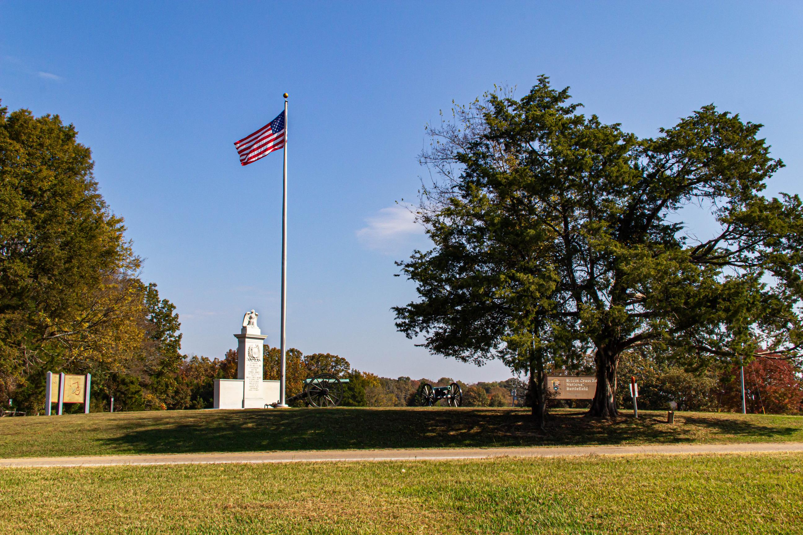
The Confederate victory at Brices Cross Roads was a significant victory for Major General Nathan Bedford Forrest, but its long-term effect on the war proved costly for the Confederates.
- NPS site
- nps.gov/brcr
- Location
- Brices Cross Roads National Battlefield Site (34.506, -88.729)
Track your visit to Brices Cross Roads National Battlefield Site
NP Tracker keeps a record of every National Park Service unit you visit — all 430-plus of them. Log visits with dates and photos, collect passport stamps, plan trips, and watch your map fill in. It's free.
Passport stamp locations
- Natchez Trace Parkway Visitor Center
Hours
Brices Crossroads National Battlefield Sitetoday: Sunrise to Sunset
- Sun Nov 22Sunrise to Sunset
- Mon Nov 23Sunrise to Sunset
- Tue Nov 24Sunrise to Sunset
- Wed Nov 25Sunrise to Sunset
- Thu Nov 26Sunrise to Sunset
- Fri Nov 27Sunrise to Sunset
- Sat Nov 28Sunrise to Sunset
The grounds of the Brices Cross Roads National Battlefield Site are open sunrise to sunset everyday of the year.
Hours are retrieved from the National Park Service and can change without notice — check the official site before you go.
When to go
Warmest in July
Warmest in July (89° / 69°), coolest in January (50° / 29°).
Average daily high and low, °F, and monthly precipitation, 1991–2020, measured at Booneville, 21 km away, 149 m up. Typical, not a forecast for your dates. Source: NOAA climate normals.
Things to do
1
- Exploring The Brices Cross Roads Battlefield
The Brices Cross Roads National Battlefield was established in February of 1929 with the intention of preserving 1 acre in commemoration of the battle. Since then the Brice’s Crossroads National Battlefield Commission has purchased 1600 acres of the hallowed ground and with the help of the Civil War Trust and local support they have preserved many other areas associated with the battle.
1-3 Hours · All year
Visitor centers
1
- Natchez Trace Parkway Visitor Centertoday: 9:00AM - 4:30PMDirections
Self-guided tours
1
Driving Tour Of The Battle Of Brices Cross Roads1–3 hours · 12 stops
This driving tour will take you through ten stops related to the Battle of Brices Cross Roads. Federal Army Major General William T. Sherman ordered Brig. Gen. Samuel D. Sturgis and a force of 8,100 to move out of Memphis and threaten north Mississippi in hopes of drawing Confederate General Nathan B. Forrest away from Sherman’s much needed railroad in Tennessee. The soldiers of Sturgis and Forrest met at Brices Cross Roads June 10, 1864.
Entrance fees
No entrance fee.