Curecanti National Recreation Area
National Recreation Area · CO
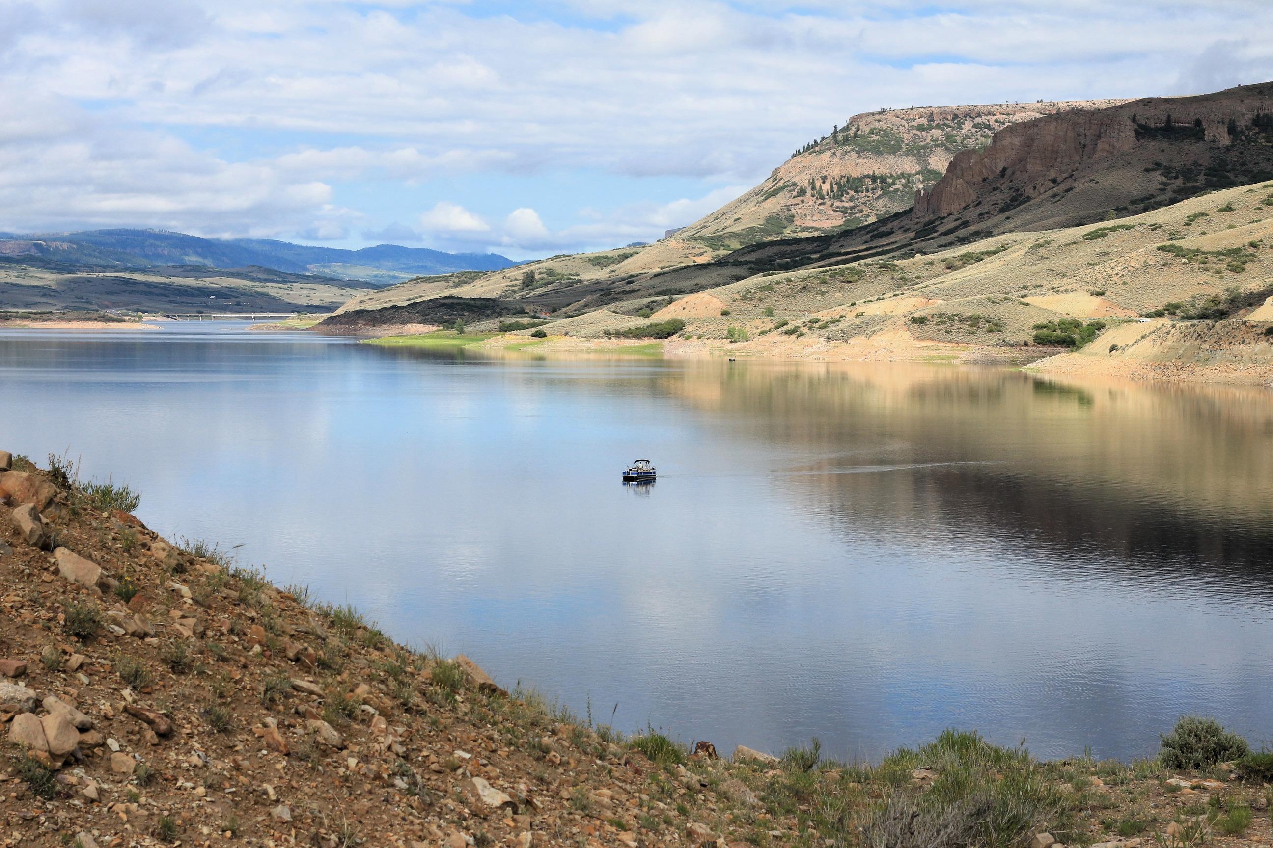
Three reservoirs and surrounding lands make up this recreation area in western Colorado. It is a landscape of tradeoffs; natural and human made features exist together. Geologic wonders are abundant from the sagebrush shrublands to forests. Visitors can experience the park year-round on both land and water.
- NPS site
- nps.gov/cure
- Location
- Curecanti National Recreation Area (38.466, -107.330)
Track your visit to Curecanti National Recreation Area
NP Tracker keeps a record of every National Park Service unit you visit — all 430-plus of them. Log visits with dates and photos, collect passport stamps, plan trips, and watch your map fill in. It's free.
Passport stamp locations
- East Portal
- Elk Creek Visitor Center
Hours
Curecanti National Recreation Areatoday: All Day
- Sun Nov 22All Day
- Mon Nov 23All Day
- Tue Nov 24All Day
- Wed Nov 25All Day
- Thu Nov 26All Day
- Fri Nov 27All Day
- Sat Nov 28All Day
Open 24 hours per day, 365 days a year.
Hours are retrieved from the National Park Service and can change without notice — check the official site before you go.
When to go
Busiest in July, warmest in July
Busiest in July, quietest in February.
Each month is its median across 2021–2025: the middle year’s figure, so one unusual year doesn’t skew it. Recreation visitors only. Typical, not a forecast for your dates. Source: NPS Stats.
Warmest in July (83° / 46°), coolest in January (26° / -1°).
Average daily high and low, °F, and monthly precipitation, 1991–2020, measured at Blue Mesa Lake, 14 km away, 2,307 m up. Typical, not a forecast for your dates. Source: NOAA climate normals.
Things to do
14
- Boat on Blue Mesa Reservoir
Blue Mesa Reservoir, the largest body of water in Colorado, has 96 miles of shoreline and provides opportunities for motorboating, paddleboarding, kayaking, canoeing, and more.
Spring, Summer, Fall · Fee
- Boat on Crystal Reservoir
Crystal Reservoir provides backcountry flatwater boating opportunities. Hand-carried craft only. Access is from Mesa Creek Trail located at Cimarron.
Summer, Fall
- Boat on Morrow Point Reservoir
For the more adventurous, Morrow Point Reservoir is a great location for canoeing or kayaking. The easiest access to launch hand-carried craft is via the Pine Creek Trail.
Summer, Fall
- Drive CO Highway 92
Colorado (CO) Highway 92 crosses over Blue Mesa Dam and winds along the north rim of the Black Canyon, providing access to scenic overlooks and trailheads.
2-4 Hours · All year
- Drive East Portal Road
East Portal Road is a windy, steep scenic road down to the Gunnison River. East Portal is within Curecanti National Recreation Area, but only accessible from within Black Canyon of the Gunnison National Park. Vehicles over 22 feet are prohibited on the East Portal Road.
1-2 Hours · Spring, Summer, Fall
- Drive U.S. Highway 50
U.S. Highway 50 travels west from Gunnison and brings you into Curecanti National Recreation Area. The highway follows along the Gunnison River before reaching Blue Mesa Reservoir, continuing along its edge and crossing two bridges.
2-4 Hours · All year
- Fishing at Curecanti
Fishing is allowed along the Gunnison River and all three reservoirs of Curecanti National Recreation Area. All Colorado State fishing regulations apply.
Spring, Summer, Fall
- Hike Crystal Creek Trail
Winding through abundant wildflowers, Gambel oak, aspens, conifers and a recovering burn area, Crystal Creek Trail is ideal for spring or fall hiking.
2-3 Hours · Spring, Fall
Visitor centers
1
- Elk Creek Visitor Centerclosed todayDirections
Campgrounds
10, 4 open today
- Cimarron Campground
closed today · 21 sites · from $12
Directions - Dry Gulch Campground
open today · 9 sites · from $10
Directions - East Elk Creek Group Campground
closed today · 1 reservable site · from $120
ReserveDirections - East Portal Campground
closed today · 15 first-come sites · from $10
Entrance fees
No entrance fee.