Ice Age Floods National Geologic Trail
National Geologic Trail · WA, OR, ID, MT · Trail
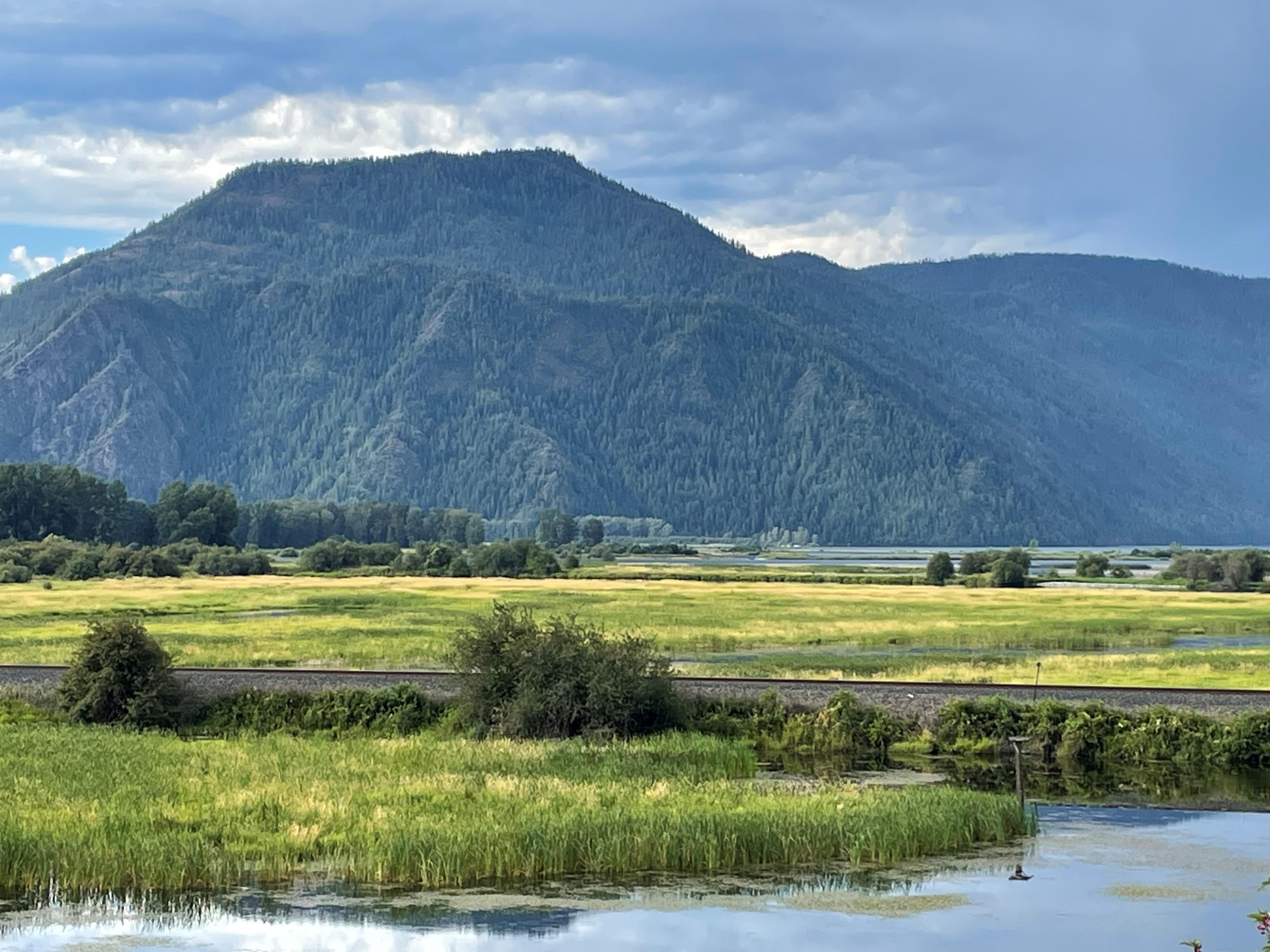
At the end of the last Ice Age, 18,000 to 15,000 years ago, an ice dam in northern Idaho created Glacial Lake Missoula stretching 3,000 square miles around Missoula, Montana. The dam burst and released flood waters across Washington, down the Columbia River into Oregon before reaching the Pacific Ocean. The Ice Age Floods forever changed the lives and landscape of the Pacific Northwest.
- NPS site
- nps.gov/iafl
- Location
- Ice Age Floods National Geologic Trail (46.567, -118.993)Directions
Track your visit to Ice Age Floods National Geologic Trail
NP Tracker keeps a record of every National Park Service unit you visit — all 430-plus of them. Log visits with dates and photos, collect passport stamps, plan trips, and watch your map fill in. It's free.
Passport stamp locations
- Columbia Gorge Discovery Center & Museum
- Crown Point National Natural Landmark
- Fort Spokane Visitor Center and Museum
- Fort Spokane Visitor Center and Museum
- Grand Coulee Dam Visitor Center
- Montana Natural History Center
- Multnomah Falls and Lodge
- National Bison Range
- Ravalli County Historical Museum
- Sun Lakes-Dry Falls State Park
- Tualatin Public Library
Hours
Ice Age Floods National Geologic Trailtoday: All Day
- Sat Oct 3All Day
- Sun Oct 4All Day
- Mon Oct 5All Day
- Tue Oct 6All Day
- Wed Oct 7All Day
- Thu Oct 8All Day
- Fri Oct 9All Day
The Ice Age Floods National Geologic Trail is a collection of sites operated and owned by a variety of partners. , Hours of operation and season will vary from site to site. Please check each respective site for more details and information.
Hours are retrieved from the National Park Service and can change without notice — check the official site before you go.
Self-guided tours
1
Badger Mountain1–2 hours · 8 stops
When Columbian Mammoths roamed our area, Badger Mountain experienced some of the largest freshwater floods known to have happened anywhere on the planet. Learn about the awesome power of the Ice Age Floods. Hike up the Canyon Trail to the summit of Badger Mountain and learn fun facts about the Ice Age Floods. This self-guided tour is a loop hike which begins and ends at Trailhead Park. The loop is 3.3 miles in length and has an elevation change of about 800 feet. Please be prepared and leave no trace.
Entrance fees
No entrance fee.