Ice Age National Scenic Trail
National Scenic Trail · WI · Trail
Caution · Use Caution — Devil's Lake Segment
Hwy 113 is undergoing a repaving project. The Ice Age Trail remains open, but the Hwy 113 crossing will be temporarily closed during paving work. Expect construction vehicles and limited parking access between CTH‑DL (north side) and Solum Ln. The project is anticipated to continue through mid‑November. For maps and additional details from the Ice Age Trail Alliance, follow the link below:
More informationCaution · Use Caution — Milwaukee River Segment
Logging operations are occurring along a 0.3‑mile section of the Trail about 0.2 miles north of Hwy 28. Work may continue into winter. Heavy machinery may be present. Use caution. For maps and additional details from the Ice Age Trail Alliance, follow the link below:
More informationCaution · Use Caution — Sand Creek Segment
Logging is occurring near the eastern end of the Sand Creek Segment from approximately 1.7 miles west of 30th Ave. to 0.8 miles west of 30th Ave. The Trail is adjacent to active logging and enters the logging area in several spots. Trucks may use the logging road, and conditions may be wet and rutted. Heavy machinery may be present. Remain on the Trail and keep dogs leashed.
More informationCaution · Use Caution — Summit Moraine Segment
A timber harvest is under way east of STH‑45 for approximately one mile. Work may continue through mid‑October. Heavy machinery may be present, and conditions may vary. Remain on the Trail and keep dogs leashed. For maps and additional details from the Ice Age Trail Alliance, follow the link below:
More informationCaution · Use Caution — Tisch Mills Segment
Flooding may occur between Mill Rd. and Nuclear Rd., especially in spring or after heavy rain. A bypass is available via CTH‑B between CTH‑BB and Nuclear Rd. For maps and additional details from the Ice Age Trail Alliance, follow the link below:
More information11 noticesfrom the National Park Service
Information · Pike Lake Segment — Limited Parking at Pike Lake Beach
Construction on the Pike Lake Beach parking lot begins September 29 and continues through early November. Parking will be limited, with about 50 stalls remaining open; expect reduced capacity on weekends. The segment remains open. For maps and additional details from the Ice Age Trail Alliance, follow the link below:
More informationInformation · Reroute in Effect — Algoma Connecting Route Segment
A reroute is in effect on the connecting route south of Algoma. The bridge over Three Mile Creek on Longfellow Rd is closed to all travel. Bypass this closure via 9th Rd and STH‑42; note that the 10th Rd bridge is also closed. This 2.7‑mile alternate route replaces 2.8 miles of connecting route. For maps and additional details from the Ice Age Trail Alliance, follow the link below:
More informationInformation · Reroute in Effect — Averill‑Kelly Creek Wilderness Segment
A one‑mile section on the eastern side of the Averill‑Kelly Creek Segment is closed October 15–December 31 for private hunting. Follow posted reroute directions. The entire segment is also closed during the 9‑day gun deer season. For maps and additional details from the Ice Age Trail Alliance, follow the link below:
More information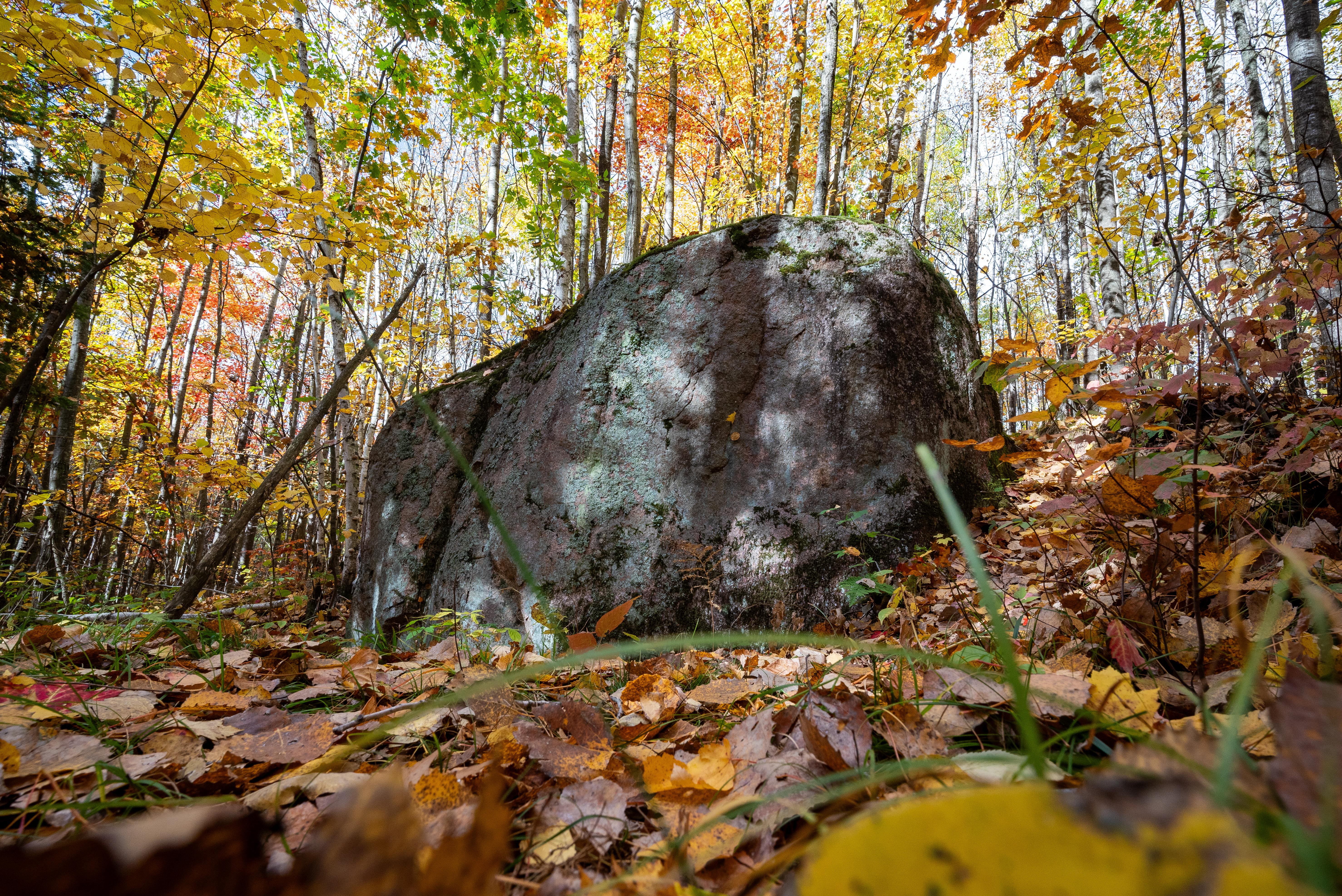
The Ice Age National Scenic Trail spans 1,200 miles, traverses some of Wisconsin's finest geologic and glacial features, and passes through the ancestral lands of 15 Tribes. The Trail is built, managed and maintained by dedicated volunteers, Ice Age Trail Alliance, Wisconsin Department of Natural Resources, local partners, and the National Park Service.
- NPS site
- nps.gov/iatr
- Location
- Ice Age National Scenic Trail (43.990, -89.561)Directions
Track your visit to Ice Age National Scenic Trail
NP Tracker keeps a record of every National Park Service unit you visit — all 430-plus of them. Log visits with dates and photos, collect passport stamps, plan trips, and watch your map fill in. It's free.
Passport stamp locations
- Chippewa Moraine State Recreation Area
- Chippewa Moraine State Recreation Area
- Devil's Lake State Park
- Devils Lake State Park
- Interstate State Park
- Interstate State Park Visitor Center
- Kettle Moraine State Forest Visitor Center
- Northern Kettle Moraine State Forest
- St. Croix National Scenic Riverway
Hours
Trailtoday: All Day
- Sat Oct 3All Day
- Sun Oct 4All Day
- Mon Oct 5All Day
- Tue Oct 6All Day
- Wed Oct 7All Day
- Thu Oct 8All Day
- Fri Oct 9All Day
The Ice Age National Scenic Trail is not your 'typical' park. The trail is almost 1,200 miles long and crosses the state of Wisconsin north to south and east to west. The Trail is open year round. However some segments may be closed during Wisconsin's November 9-day gun deer hunting season. Additional information about hunting seasons, trail conditions and closures along the rest of the trail is available from the Wisconsin Department of Natural Resources and the Ice Age Trail Alliance.
National Park Service Officeclosed today
Entrance fees
No entrance fee.