Mormon Pioneer National Historic Trail
National Historic Trail · IL, IA, NE, UT, WY · Trail
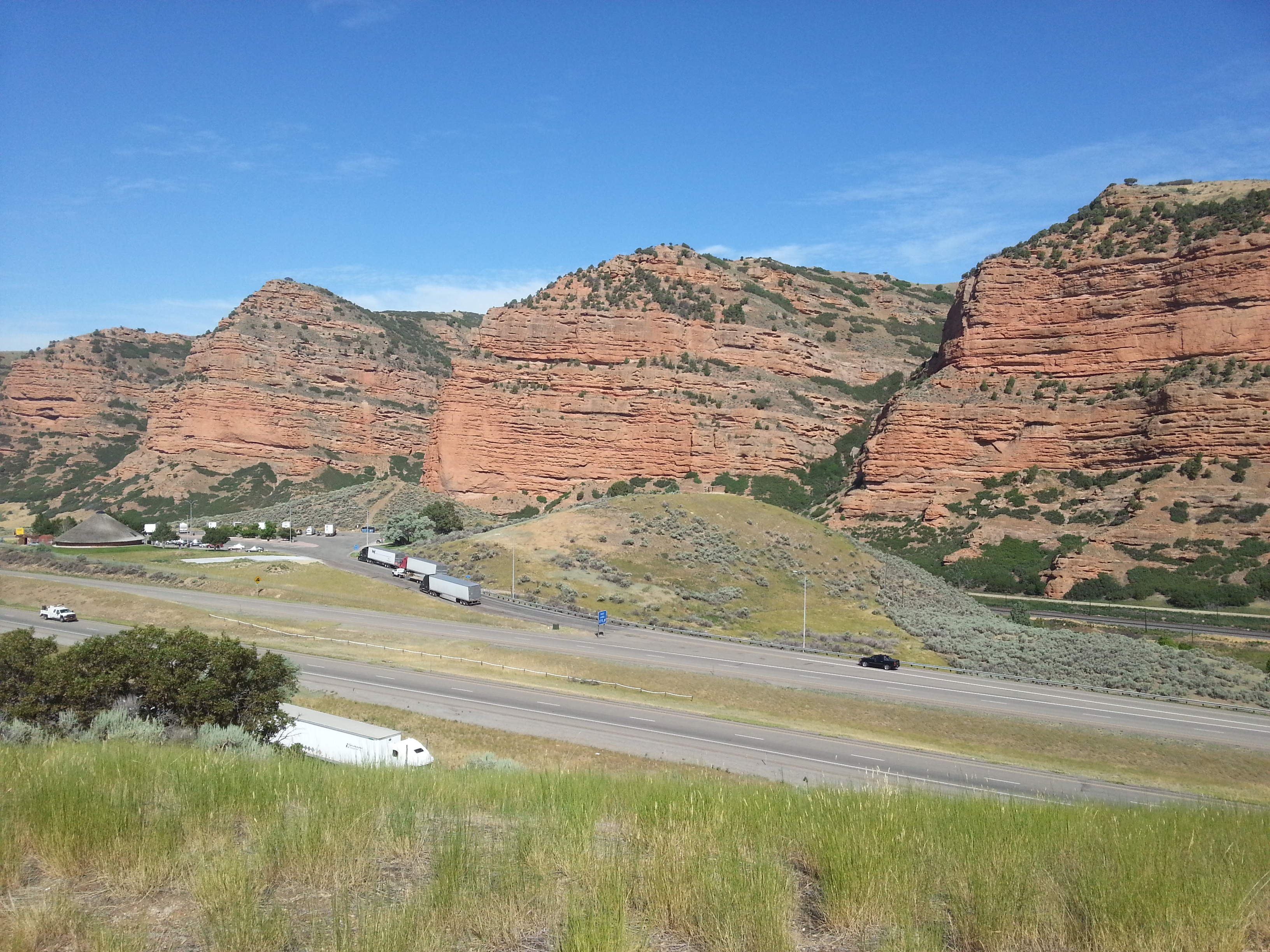
Explore the Mormon Pioneer National Historic Trail across five states to see the 1,300-mile route traveled by Mormons who fled Nauvoo, Illinois, to the Great Salt Lake Valley in 1846-1847.
- NPS site
- nps.gov/mopi
- Location
- Mormon Pioneer National Historic Trail (41.265, -101.841)Directions
Track your visit to Mormon Pioneer National Historic Trail
NP Tracker keeps a record of every National Park Service unit you visit — all 430-plus of them. Log visits with dates and photos, collect passport stamps, plan trips, and watch your map fill in. It's free.
Passport stamp locations
- Commissary Storehouse
- Fort Bridger State Historic Site
- Mormon Pioneer National Historic Trail
- National Frontier Trails Museum
- National Historic Trails Interpretive Center
- Old Bedlam
- Prairie Trails Museum
- Scotts Bluff National Monument
Hours
Mormon Pioneer National Historic Trailtoday: All Day
- Sun Nov 22All Day
- Mon Nov 23All Day
- Tue Nov 24All Day
- Wed Nov 25All Day
- Thu Nov 26All Day
- Fri Nov 27All Day
- Sat Nov 28All Day
The Mormon Pioneer National Historic Trail is not a clearly marked hiking trail. Instead it is a corridor that passes through communities, urban areas, public lands, and Wilderness. The route travels across a variety of land ownerships and management, including private land. Each location varies as to the hours of operation and access. Please contact individual trail sites before your visit for more information.
Hours are retrieved from the National Park Service and can change without notice — check the official site before you go.
When to go
Warmest in July
Warmest in July (87° / 63°), coolest in January (36° / 18°).
Average daily high and low, °F, and monthly precipitation, 1991–2020, measured at Kingsley Dam, 16 km away, 1,011 m up. Typical, not a forecast for your dates. Source: NOAA climate normals.
Things to do
1
- Become a Mormon Pioneer Trail Junior Ranger
Learn about the Mormon Pioneer Trail and earn your junior ranger badge! This activity can be completed virtually or after visiting a site along the Mormon Pioneer National Historic Trail. Booklets can be submitted either electronically or by mail. Take a look and start exploring the trail today!
Entrance fees
No entrance fee.