Saint Croix National Scenic Riverway
National Wild and Scenic River · WI, MN
Park Closure · North Parking Lot at Osceola Landing to Close for Bridge Construction
The northernmost parking lot and co-located boat ramps at Osceola Landing will close week of 9/14 as part of the Hwy 243 Osceola Bridge replacement project. The parking lot and boat ramps will be used as a staging area and river access point for construction equipment for the duration of the Hwy 243 bridge replacement project. During this time, the rest of Osceola Landing will be open for visitor use including alternative parking lots, restrooms, picnic shelters, trail, and other river access points.
Log in to be notified when a closure is lifted.
1 noticefrom the National Park Service
Information · Increased Bear Activity in the Riverway
Bears have been seen approaching campsites in the Riverway in search of food. Store all food, garbage, and scented items in bear‑resistant containers, locked vehicles, or properly hung bags. Food should never be stored in tents. Stay alert and report safety concerns to 1‑800‑PARK‑TIP
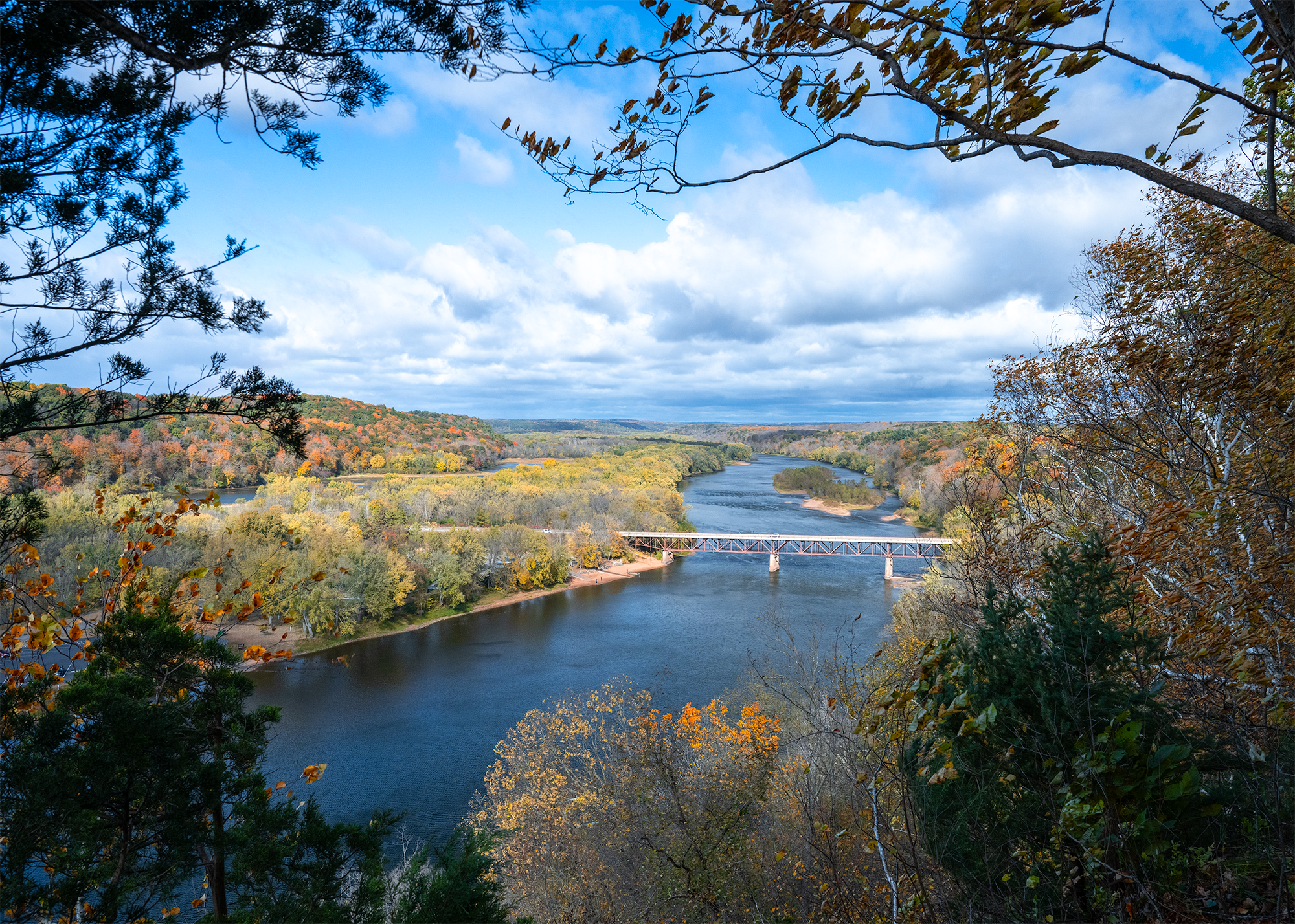
Grab your paddle and your longing for adventure and head to the St. Croix and Namekagon rivers! Together they form the St. Croix National Scenic Riverway, offering over 200 miles of clean water that glides and rushes through a forested landscape. Paddle, boat, fish, and camp among this wild and scenic beauty. Hiking and historic towns also beckon.
- NPS site
- nps.gov/sacn
- Location
- Saint Croix National Scenic Riverway (45.700, -92.361)
Track your visit to Saint Croix National Scenic Riverway
NP Tracker keeps a record of every National Park Service unit you visit — all 430-plus of them. Log visits with dates and photos, collect passport stamps, plan trips, and watch your map fill in. It's free.
Passport stamp locations
- Namekagon River Visitor Center
- St. Croix River Visitor Center
Hours
St. Croix National Scenic Riverwaytoday: All Day
- Sun Nov 22All Day
- Mon Nov 23All Day
- Tue Nov 24All Day
- Wed Nov 25All Day
- Thu Nov 26All Day
- Fri Nov 27All Day
- Sat Nov 28All Day
The St. Croix and Namekagon rivers are open all-day, year-round except for periods of dangerous water conditions. Access to landings and trails is seasonal.
Hours are retrieved from the National Park Service and can change without notice — check the official site before you go.
When to go
Busiest in July, warmest in July
Busiest in July, quietest in January.
Each month is its median across 2021–2025: the middle year’s figure, so one unusual year doesn’t skew it. Recreation visitors only. Typical, not a forecast for your dates. Source: NPS Stats.
Warmest in July (81° / 60°), coolest in January (22° / 5°).
Average daily high and low, °F, and monthly precipitation, 1991–2020, measured at Luck, 17 km away, 372 m up. Typical, not a forecast for your dates. Source: NOAA climate normals.
Things to do
2
- Explore the Ridge View Trail, Osceola Loop
The Osceola Loop of the Ridge View Trail winds through a dappled forest high above the St. Croix River.
1-2 Hours · All year
- Paddling The Riverway
Paddling the rivers of the St. Croix National Scenic Riverway.
2-120 Hours · All year
Visitor centers
2
- Namekagon River Visitor Centerclosed todayDirections
- St. Croix River Visitor Centerclosed todayDirections
Campgrounds
3
- Lower St. Croix District
hours not posted · 19 first-come sites · Free
Directions - Middle St. Croix
hours not posted · 57 first-come sites · Free
Directions - Namekagon District
hours not posted · 67 first-come sites · Free
Directions
Entrance fees
No entrance fee.